
Greece’s wildfire risk shifts from Ionian Islands to Athens and Aegean hotspots
The Ionian Islands were placed under Red Code on 26 August. A day later, very high category-4 risk covers Attica, Crete, Evia and a chain of Aegean islands.
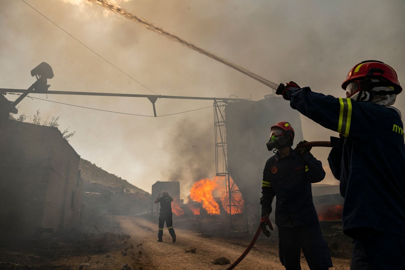
Greece’s wildfire warning system is showing how quickly the geography of risk can change during the final weeks of the Mediterranean summer. On Wednesday 26 August, the Ionian Islands region was placed under Red Code mobilisation because the daily fire-risk map forecast a very high, category-4 threat. For Thursday 27 August, the category-4 zone has shifted east and south, covering Attica, Evia, Chios, Samos, Ikaria, Crete and parts of the South Aegean, including the Cyclades, Kalymnos, Kos and Karpathos.
That distinction matters. The map is not a list of active fires and category 4 does not mean every marked locality is burning. It is a forward-looking assessment of conditions in which a fire can start and spread quickly. Greece’s General Secretariat for Civil Protection has notified the relevant state services, regions and municipalities so they can remain at heightened readiness and respond rapidly to any outbreak.
Red Code adds a further institutional layer. Under the mobilisation status used for the Ionian Islands on 26 August, the national civil-protection mechanism moves to full mobilisation, activating and deploying the personnel, equipment and material resources judged necessary for preparedness, emergency response and the management of consequences. Regional and municipal authorities are also called to convene their coordination bodies.
The shift from one set of islands to another is a practical demonstration of why wildfire management is increasingly about networks and timing as much as firefighting capacity. Greece’s tourism system moves millions of people through airports, ferries, roads, hotels and beaches while the risk map can change every 24 hours. A warning that is geographically accurate on Wednesday can be incomplete for a traveller making decisions on Thursday morning.
The timing amplifies the stakes. Greece remains in the height of the summer holiday season, with beaches crowded by domestic and international tourists. High visitor numbers do not themselves create the fire weather, but they increase the number of people who may need clear instructions, transport alternatives and rapid evacuation if a fire reaches a resort or cuts a road.
That scenario was visible on 13 August in Halkidiki. A wildfire pushed towards the resort areas of Siviri and Fourka, forcing hundreds of residents and holidaymakers to leave. Euronews reported that more than 250 tourists were evacuated from beaches by sea in fifteen small boats as the flames moved closer to the coast. The incident showed how coastal infrastructure can become an evacuation route when land access is threatened.
Greek civil-protection guidance therefore concentrates heavily on prevention. During the fire season, people are told not to burn dry grass, branches or rubbish, not to use outdoor grills in forests or next to dry vegetation, and to avoid work that produces sparks. Local authorities can also restrict access to forests, parks and other vulnerable areas on high-risk days. Anyone who spots a fire should call 199 or 112, give a precise location and follow official instructions.
For travellers, the category-4 warning is not a blanket prohibition on visiting Greece. It is a signal that local access decisions can change quickly. A beach or hotel can remain open while a nearby forest road, park or hiking area is closed. The most useful information is therefore the current local notice, not a general national headline or yesterday’s island-specific alert.
The next risk map may move again. That daily recalibration is the central story: Greece is using a national warning framework to push readiness down to regions and municipalities while a mass-tourism economy continues to operate around it. In late August, the system’s effectiveness depends on whether official risk information reaches people before a small ignition becomes a transport, evacuation and public-safety crisis.
84